
A digital mission-planning environment is constructed from vast amounts of data from across the operating environment, the warfighters themselves, and military doctrine. The foundation is a digital twin: a technically exact, virtual replica of an object, process, or system. A digital twin can be created within a few hours from data collected via existing maps and drone flyovers using full-motion video and light detection and ranging scans. The result is a high-fidelity rendering of where a military mission will take place.
The next layer is the data, which is embedded over the digital twin to provide an easily digestible look at key variables and other parameters. This includes the data used to create the digital twin as well as data that is pulled into the system about military doctrine, individual warfighter readiness, weaponry, weather, and open-source and signals intelligence. Analysis and measurement happen in the embedding layer through the deployment of traditional AI and mathematical optimization tools. For example, a traditional mathematical optimization model could determine the fastest route between points A and B for a four-person unit carrying a defined set of equipment. AI models could analyze the terrain using the categories of the Army’s OAKOC: obstacles, avenues of approach, key terrain, observation and fields of fire, and cover and concealment.
In addition to replicating the mission environment, digital twins can generate data that goes beyond what sensors affixed to drones can capture. A digital twin can be programmed to simulate different weather conditions, combat scenarios, and other variables. The value of this simulation is twofold: Warfighters can test themselves and evaluate their performance in a variety of conditions, and the AI optimization tools can train on this additional data to improve their functionality. (Learn more about AI’s recursive nature.)
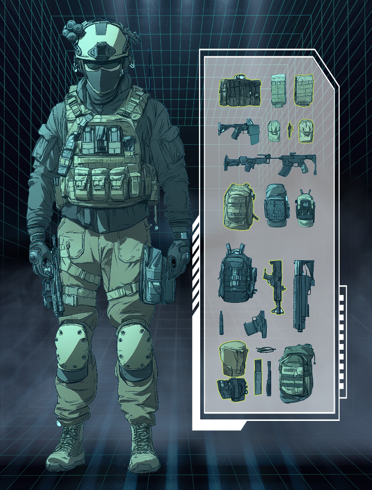 Figure 1: Digital twins let commanders manage each warfighter's load